Birds Eye view
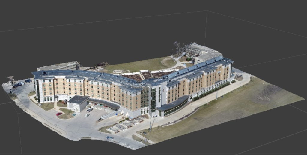
Drone Survey is your eye in the sky. We offer a cost effective service that will allow you to better plan, measure, identify and analyse. We offer a wide range of service but if we don’t have something listed please get hold of us. Drone technology is rapidly advancing and we moving with it so we are always open to new ideas or areas of application.
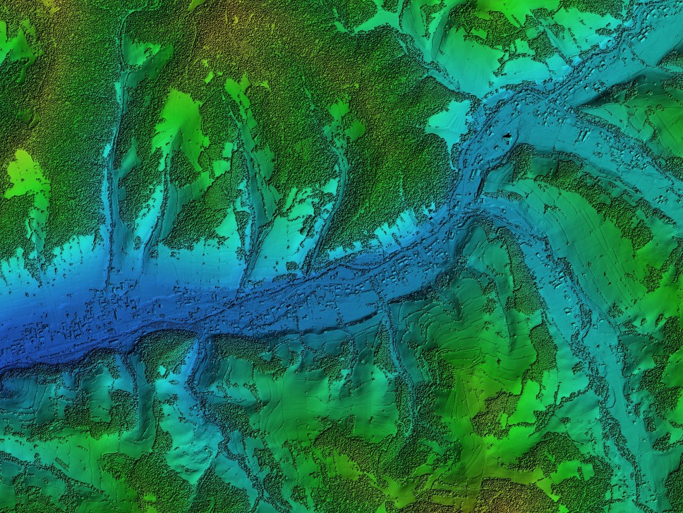
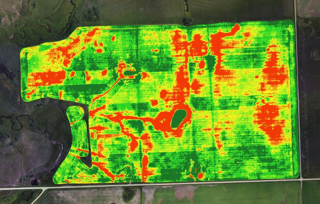
We are fully CAA certified under part 102 which allows us to go where some others cant. Our RTK equipment allows us to create very precise and globally accurate maps/surveys. We also have a multispectral camera which can create a range of indices and agricultural applications.
No job is to big or small for us, so give us a call to discuss your needs or call use out for a free no obligations quote!
Sustainable
Limit chemical usage, chemical runoff and fossil fuel usage
Mobile
Spray hard to reach areas, tall buildings, hilly areas or over water
Cost-effective
Only spray what you need, save money on chemical usage
Precise
Target patchy areas or patch jobs. Limit overspray, spray drift and chemical wastage
Subscribe to our Newsletter
Be the first to find out about our latest developments, news and special offers
